
Fourteen stops, a century of neighbors.
From tennis’s first Grand Slam champion to a lost amusement park. The loop runs about 3.7 miles — roughly 75 minutes of walking, so plan on two hours with stops. Wear good shoes; bring a few dollars for pie.
The stops
-
1903
Stop 1: A park left to the city forever
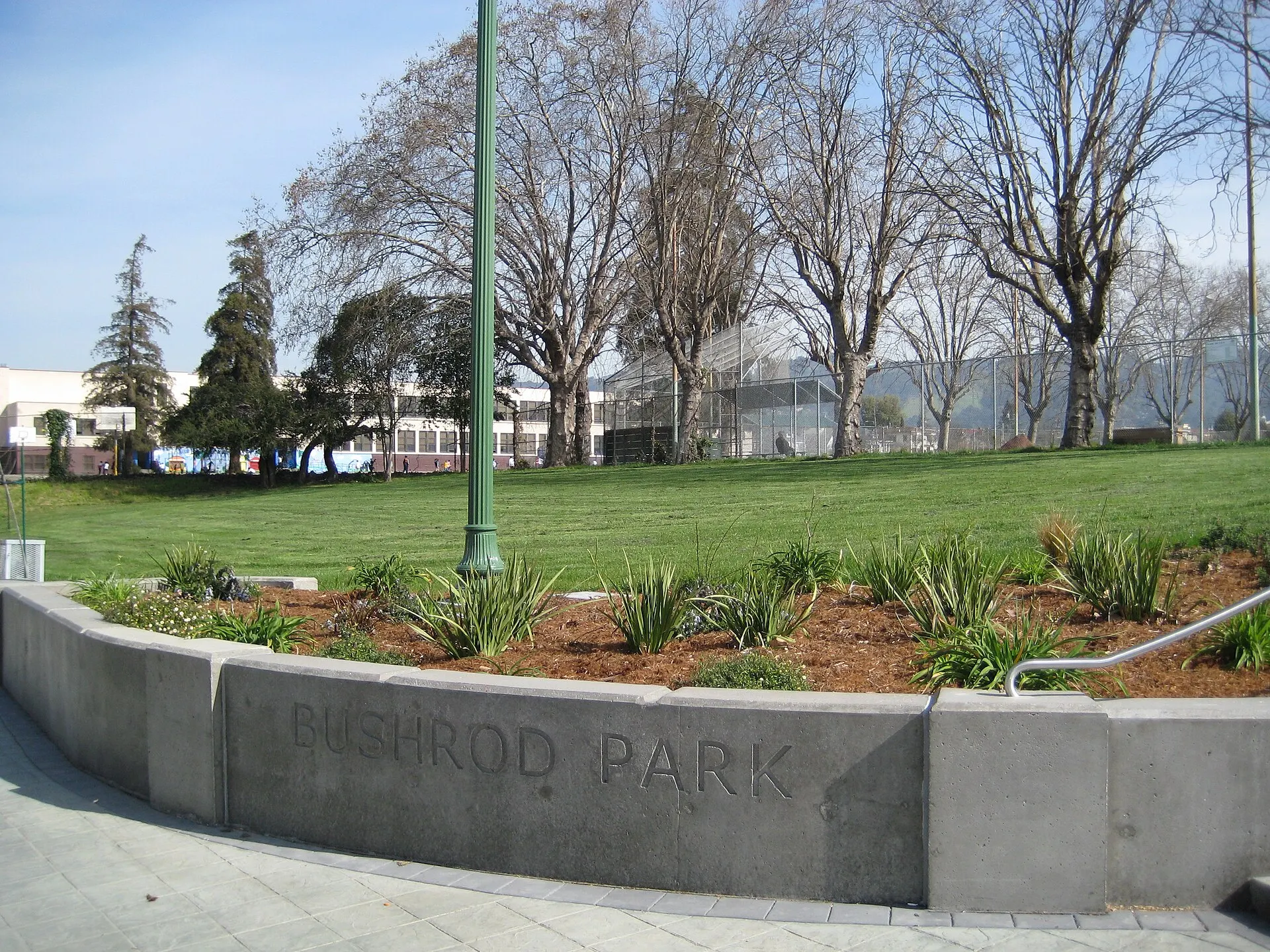
Bushrod Park, 59th St & Shattuck Ave
In 1903, Philadelphia surgeon Dr. Bushrod Washington James gave Oakland 7.5 acres he had bought decades earlier, on one condition: that it stay a public park forever. It has since grown to about 10 acres, and the whole neighborhood took his name.
Sources: LocalWiki: Bushrod Park · Wikipedia: Bushrod Washington James
-
1938
Stop 2: The first Grand Slam started here
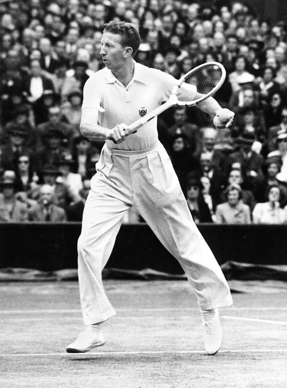
Don Budge tennis courts, inside the park
Don Budge grew up at 673 60th Street, a few steps away, and took up tennis at 13 on these courts. In 1938 he became the first player ever to win all four majors in one year, the Grand Slam. The courts carry his name.
Sources: Wikipedia: Don Budge · LocalWiki: Don Budge
-
1960s
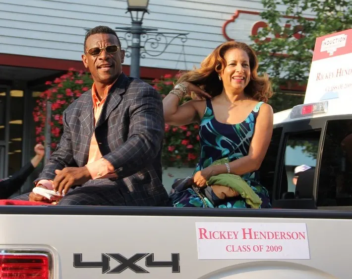
Stop 3: Rickey's home field
Billy Martin Field, inside the park
Baseball’s all-time stolen base king, Rickey Henderson, grew up near 61st and Dover and played here as a kid. He was named Bushrod’s athlete of the year in 1968, then starred at Oakland Tech. In the 1960s, the Oakland Raiders even used the park as a practice field.
Sources: Wikipedia: Rickey Henderson · Wikipedia: Bushrod, Oakland
-
2017
Stop 4: The Steph Curry courts
Bushrod Recreation Center, 560 59th St
On October 16, 2017, Stephen Curry, with Under Armour and Chase, reopened the rec center’s gym and outdoor courts: black-and-gold floors, gold rims, and his “SC” at center court. In August 2018, Steph and Ayesha Curry returned to open an education lab inside.
Sources: ESPN (2017) · Under Armour (2018)
-
Until 1958
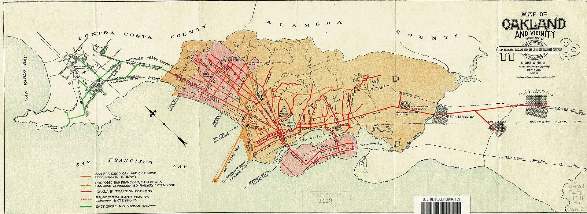
Stop 5: When trains ran down Shattuck
Shattuck Ave & 63rd St
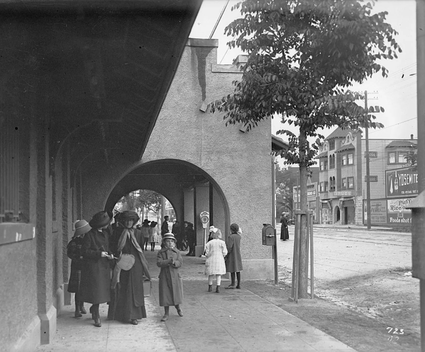
Bushrod grew up as a streetcar suburb. The Key System’s F train ran along Shattuck and Adeline to the Bay Bridge, with local streetcars on Telegraph and Grove Street (today’s MLK). Local streetcars stopped in 1948, and the last train to San Francisco ran in April 1958.
Sources: Wikipedia: Key System
-
1973
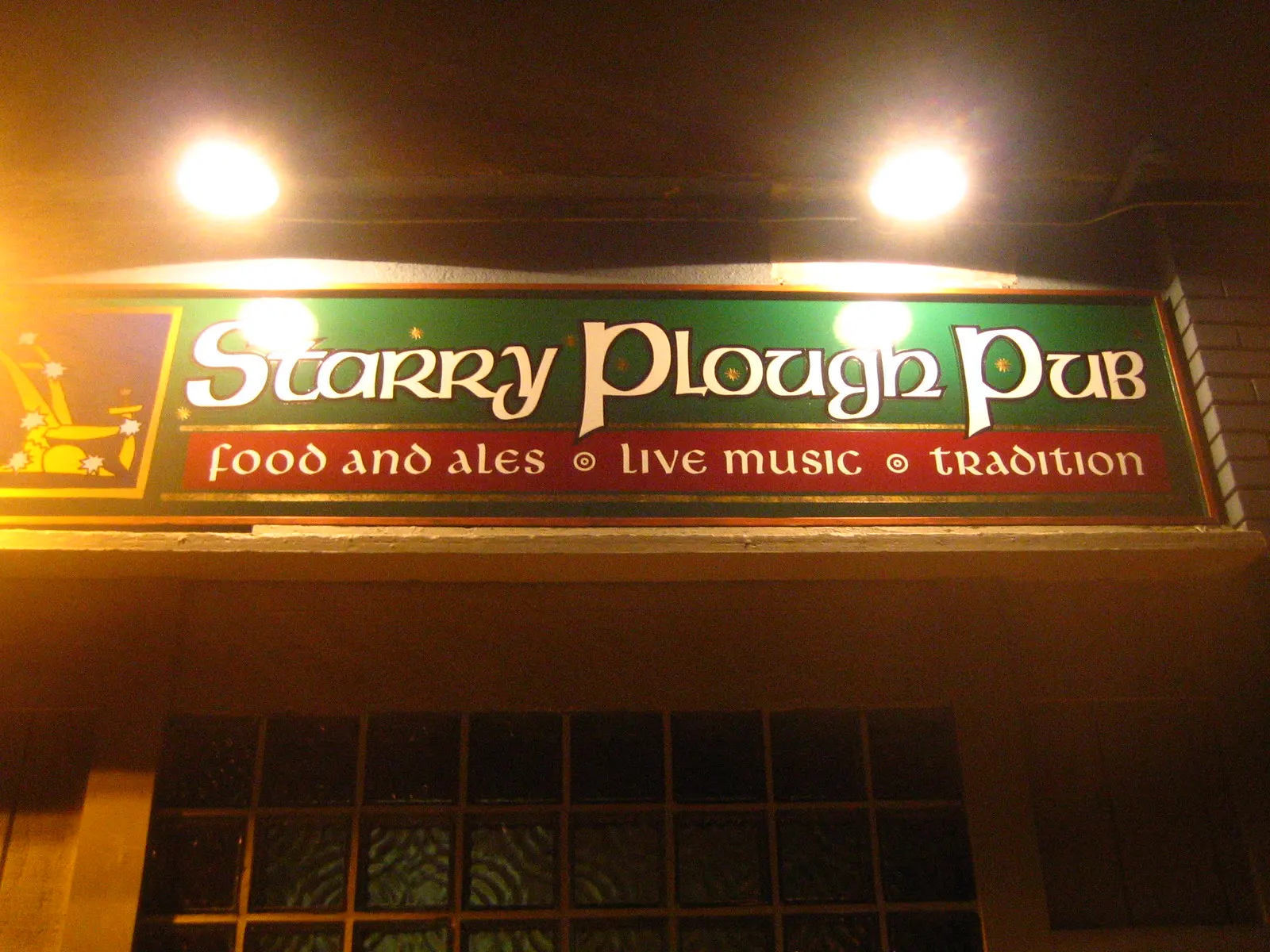
Stop 6: An Irish rebel pub
The Starry Plough, 3101 Shattuck Ave, Berkeley
Pouring pints and hosting bands since 1973, the Starry Plough takes its name from the flag of the Irish Citizen Army (1914), and it has long been a gathering place for activists.
Sources: The Starry Plough
-
1975
Stop 7: Born from solidarity
La Peña Cultural Center, 3105 Shattuck Ave, Berkeley
La Peña opened in 1975, founded by American activists and Chilean exiles in response to the 1973 coup in Chile. Look up at the colorful mural on its facade, inspired by the Nueva Canción (“new song”) movement.
Sources: Wikipedia: La Peña Cultural Center
-
1892
Stop 8: Lorin, the railroad town
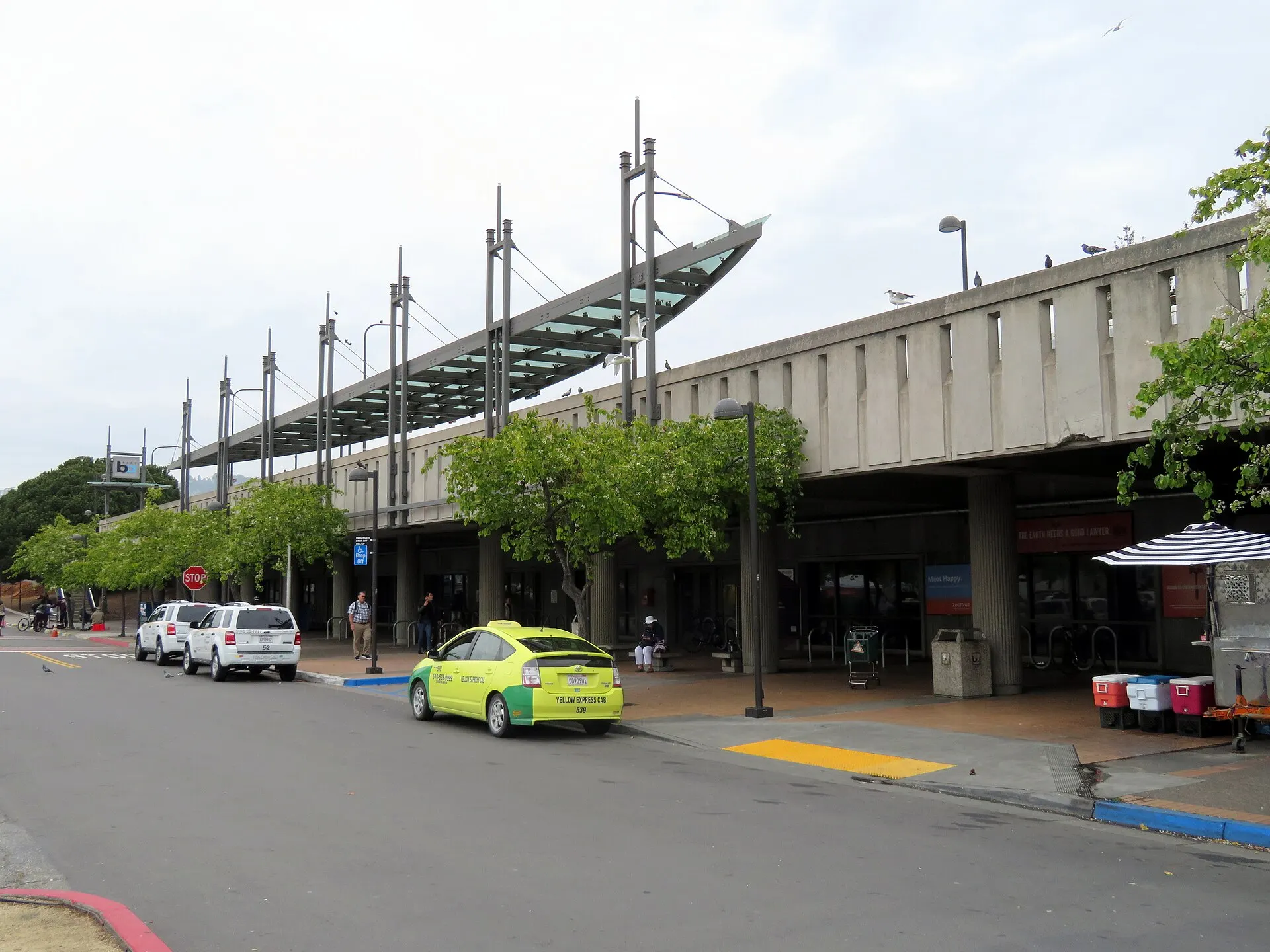
Ashby BART, Adeline St & Ashby Ave, Berkeley
Before this was Berkeley, it was Lorin, a railroad town around a Central Pacific station near Adeline and Alcatraz. Lorin voted to join Berkeley in 1892. Ashby BART opened here in January 1973.
Sources: Wikipedia: Lorin District · Wikipedia: Ashby station
-
Stop 9: Is there a there there?
HERE/THERE sculpture, Adeline St & MLK Jr Way
Right on the Oakland–Berkeley line, giant letters spell HERE on the Berkeley side and THERE on the Oakland side. It’s a wink at Oakland-raised writer Gertrude Stein, who returned to her childhood city in the 1930s and wrote, “there is no there there.”
Sources: Wikipedia: Gertrude Stein
-
1950s
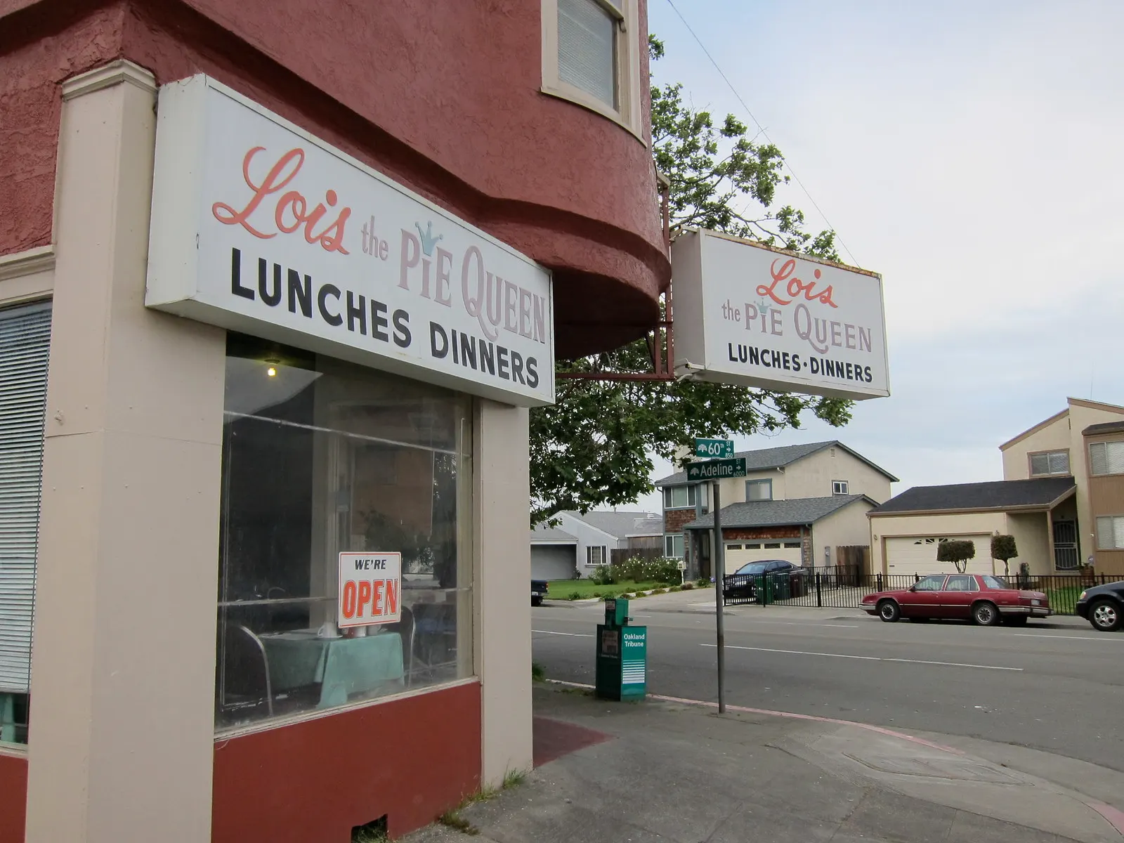
Stop 10: Pie, since the 1950s
Lois the Pie Queen, 851 60th St
Lois Davis started baking in Berkeley in the early 1950s and brought her restaurant to this corner in the early 1970s. Her family still runs it: soul-food breakfasts and pies, just like always.
Sources: LocalWiki: Lois the Pie Queen · Lois the Pie Queen
-
1962
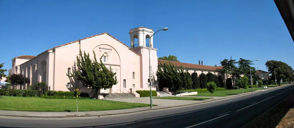
Stop 11: Where the Black Panthers began
5714 Martin Luther King Jr Way
This 1923 building was University High School, where Don Budge was a student. From 1954 to 1971 it was Merritt College. Huey Newton and Bobby Seale met here in 1962 and founded the Black Panther Party in 1966, and Merritt was a pioneer in Black Studies. It’s now an Oakland landmark, home to a senior center and a children’s hospital research institute.
Sources: Wikipedia: University High School · Wikipedia: Merritt College
-
1910s
Stop 12: A hospital started by women
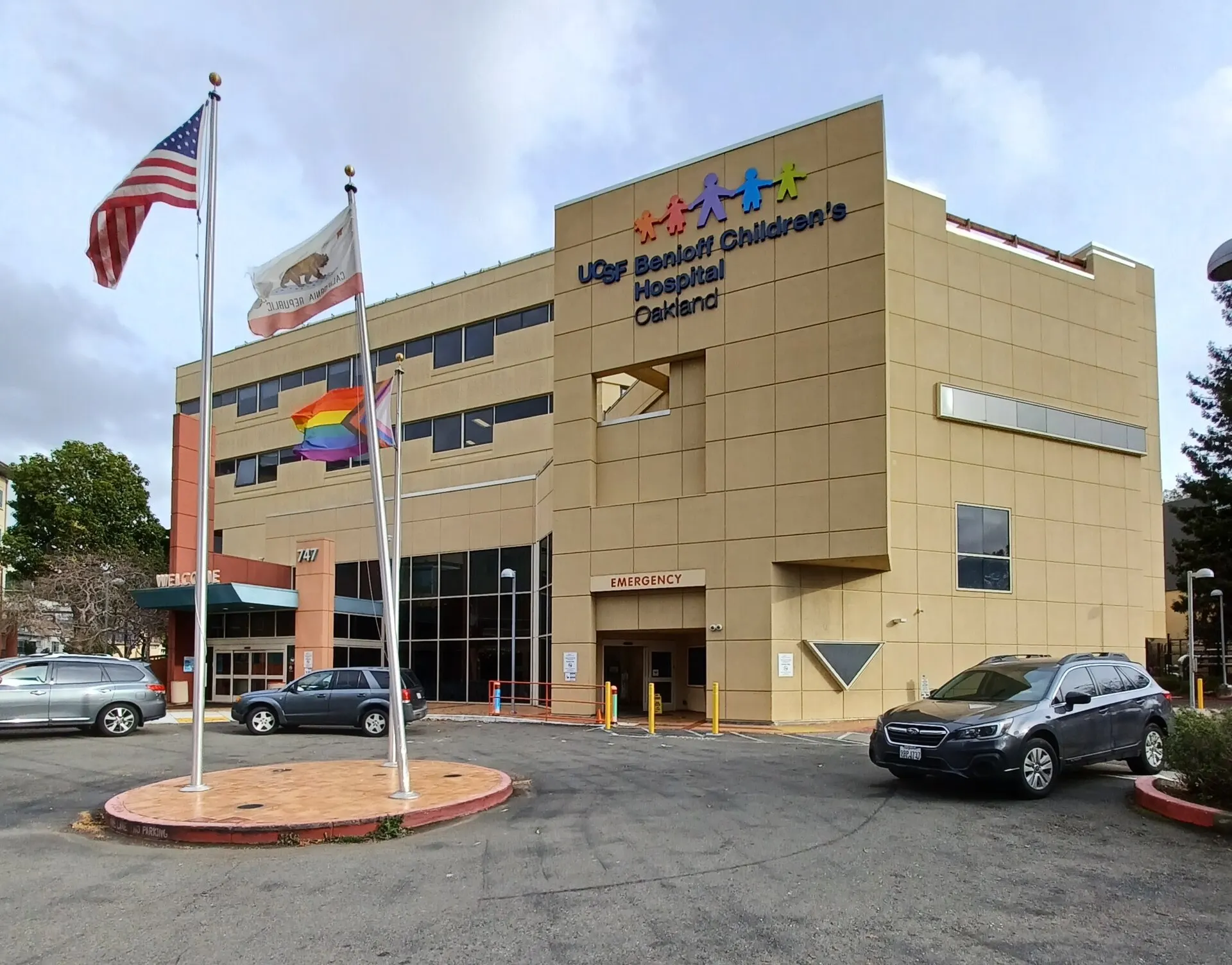
Children’s Hospital Oakland, 747 52nd St
In the early 1910s, a group of women led by nurse Bertha Wright opened the “Baby Hospital” nearby at 51st and Dover, one of the first hospitals on the West Coast for babies and children. It grew into today’s UCSF Benioff Children’s Hospital Oakland.
-
1904–1929
Stop 13: The lost amusement park
Idora Park site, between Telegraph & Shattuck, 56th–58th St
From about 1904 to 1929, these blocks were Idora Park, a “trolley park” built by the owners of the Key System to fill their streetcars. It had an opera house called the Wigwam, roller coasters, a zoo, a huge skating rink, and a 3,000-seat ballpark. Today it’s the storybook homes of the Idora Park neighborhood.
Sources: LocalWiki: Idora Park · Oakland North
-
1922
Stop 14: The pub that moved
The Kingfish, Telegraph Ave near Claremont Ave
The Kingfish has poured beer since 1922. The whole little building was picked up and moved around the corner onto Telegraph, where it reopened in 2015 with a new beer garden. End your walk here with a pint.
Sources: LocalWiki: Kingfish
What you’ll see





.jpg)


Every block has more stories than we’ve written down.
Grew up here, or know what used to stand on your corner? Tell us — the walk gets better every time a neighbor adds to it.